The 2017 summer and thunder thread
Discussion


Jonnny said:
Thanks for your posts, Puggit!
Is there any truth in the "long range" forecasts? 2-3 weeks ahead..
Ack - this has been a strange summer. This time last week we were staring down the barrel of an Atlantic driven summer according to the charts. Then 'poof' - another hot burst. You may have noticed the last few years have been dominated by these bursts, and no real extended heat waves. Is there any truth in the "long range" forecasts? 2-3 weeks ahead..
Shame the storms have mostly skipped the South - still waiting for a good storm this summer.
steveT350C said:
Humidity and heat quite intense in Gerrard's Cross. Huge clouds to the east, not sure if something brewing; I'm no expert...

ETA: photo, aside from being rotated, does not do justice to the size of those clouds
It's clear from West Berks too. They're over London and heading ENE.ETA: photo, aside from being rotated, does not do justice to the size of those clouds
Edited by steveT350C on Thursday 6th July 18:15


All a bit up in the air at the moment regarding high pressur, it's definitely looking less likely.
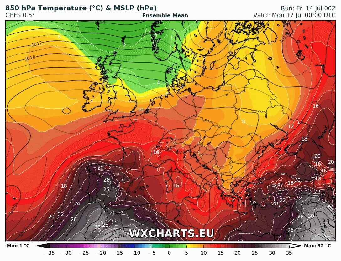
But we do have another plume, peak temps likely next Weds at 31oC ... https://twitter.com/metoffice/status/8854613366915...
But we do have another plume, peak temps likely next Weds at 31oC ... https://twitter.com/metoffice/status/8854613366915...
I come bearing bad news. After the very short lived and not particularly amazing burst of heat early this week, Weds sees the Atlantic push the warmth away and then low pressure is set to sit over the British Isles for a while. The coldest air in Europe will be here.
Scotland will bear the brunt, the South will occasionally receive a little heat from the Continent.
I'm off to France on Saturday - see you later suckers :wave:
Scotland will bear the brunt, the South will occasionally receive a little heat from the Continent.
I'm off to France on Saturday - see you later suckers :wave:
What we do know - low pressure arrives from France tomorrow, bringing the threat of pretty severe storms. Tomorrow evening sees the threat south of Brum. Then into Wednesday, it will be more relevant north of the M4. Low probability, high severity if it happens.
What we don't know - what happens after that. The models are really struggling. Could be low pressure sticking around, could be high pressure moving in.
What we don't know - what happens after that. The models are really struggling. Could be low pressure sticking around, could be high pressure moving in.


Best lightning site (in my view): http://en.blitzortung.org/live_dynamic_maps.php?ma...

DAVEVO9 said:
Please tell me it's going to rain in Oxford tonight! My neighbour is on holiday and it takes me ages to water her flowers
Keep an eye on the radar, I can't see this dying out before it reaches us - but I've been known to be wrong before!My guess is more places will get rain than don't. But gaps can and do occur.
http://www.netweather.tv/index.cgi?action=radar;se...
sc0tt said:
Chances of some in east London tonight?
Likely - that bulge (which was/is an MCS) is forecast for your part of the world.https://en.wikipedia.org/wiki/Mesoscale_convective...

Gassing Station | The Lounge | Top of Page | What's New | My Stuff