Discussion


chalda said:
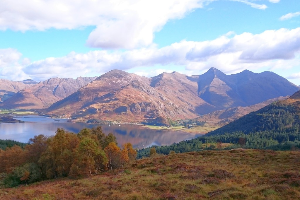
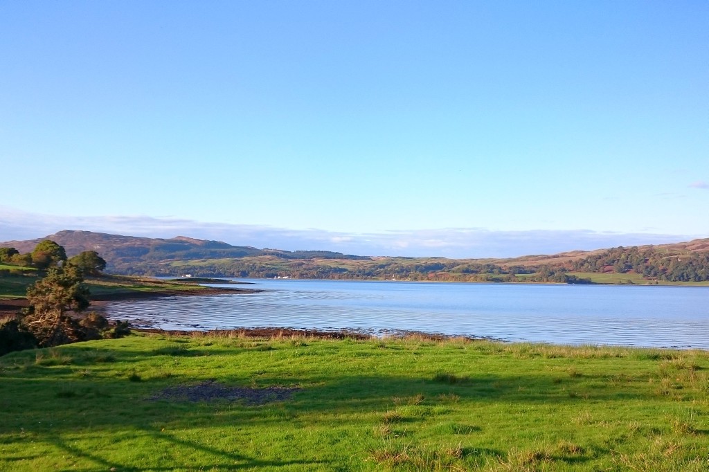
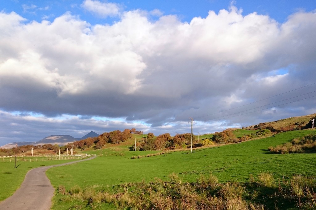
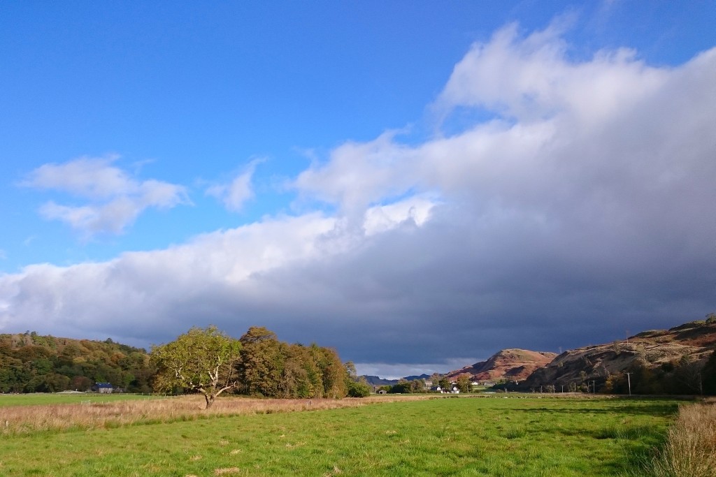
The A828 was not much better, and the A85 going east was a catastrophe. Luckily, you can beat the traffic going into Oban by taking the Glencruitten road that branches off the A85 in Achnacloich. A marvellous road and you suddenly are in the north-west of the Highlands again. It has everything (sheep, kettle, mountains and glens) albeit with a greener tone.
 If you went via the A828 why did did you go east on the A85? Oban is only 5 miles west of Connel.
There is no turning off the A85 to Glencruitten in Achnacloich.
Judging by the last two pics* you took the Glen Lonan road in Taynuilt
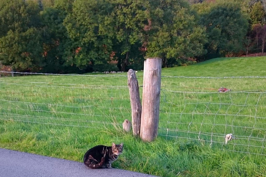
* excluding the Highland tiger!
chalda said:
Oban is not much to speak of. There are very many people compared to the Highlands...
It has distillery, which is all that matters. 
chalda said:
Your guesses on the last few pictures.
.https://goo.gl/maps/joiHbix3pCE2
https://goo.gl/maps/yMbNjEHnQLw
https://goo.gl/maps/dX866KMyfZs
https://goo.gl/maps/vWzoB3rmux22
https://goo.gl/maps/LgYVUc1xEcw
https://goo.gl/maps/wCtXBC3WBEp
https://goo.gl/maps/DqgRzzGHkmQ2
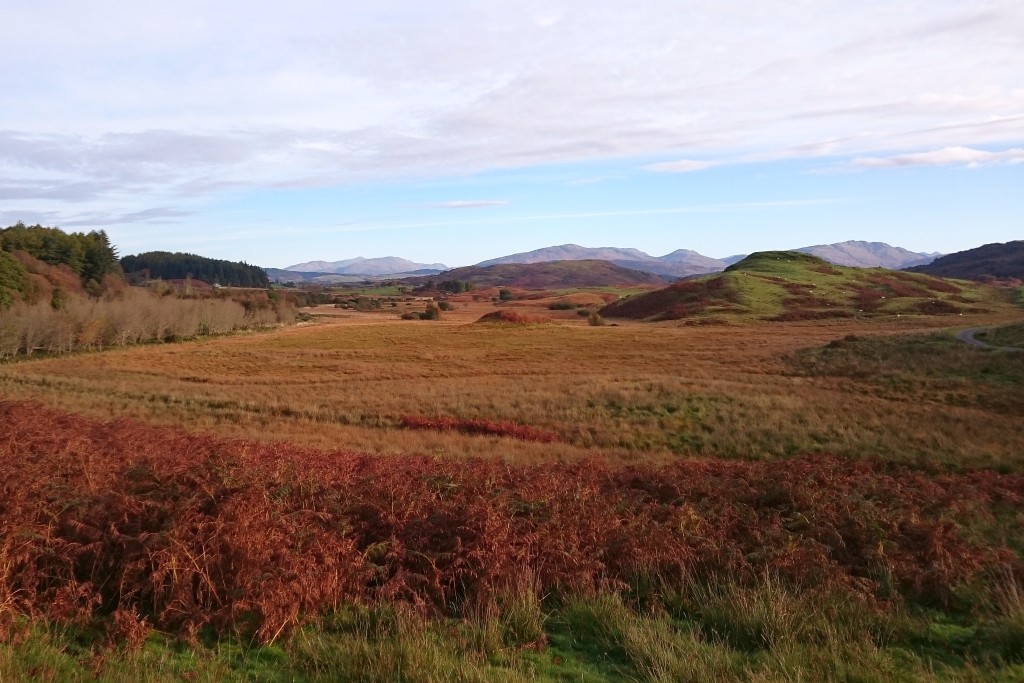
A cat, a fence post, and some trees. Not many clues there!

chalda said:
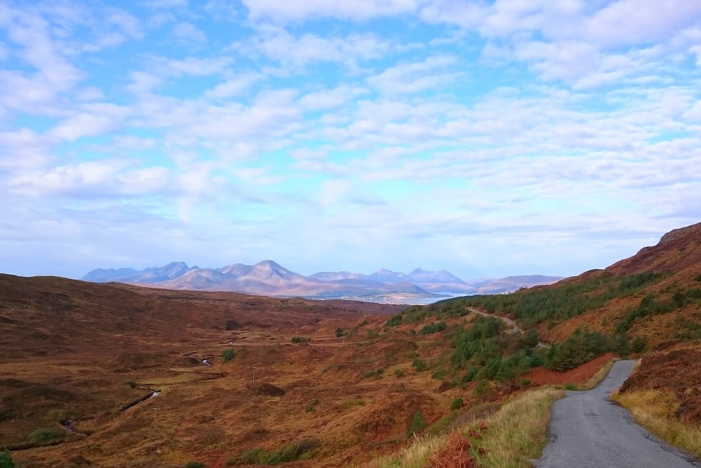
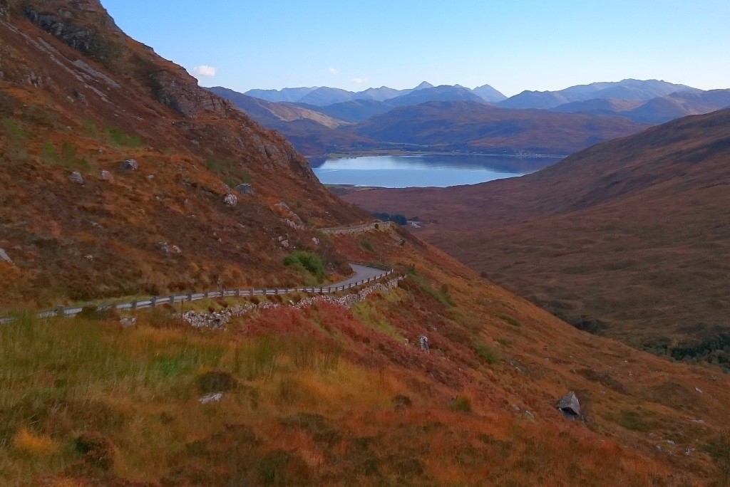
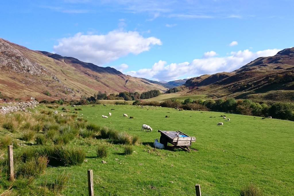
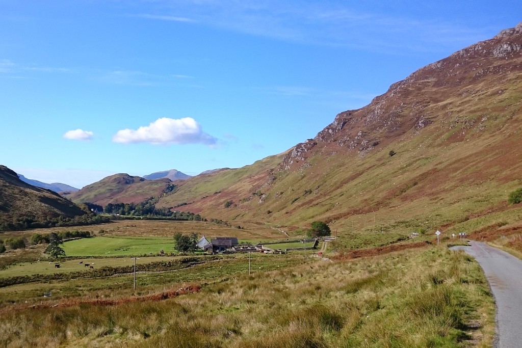
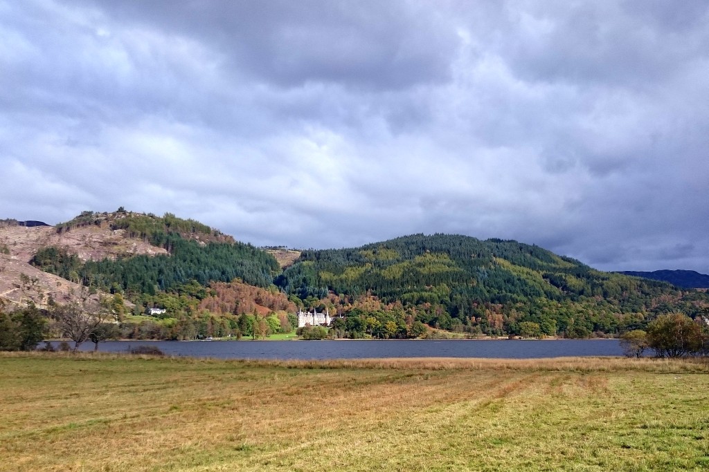
The final day of the Highlands quest. From Oban to Oban. A lot of driving, thus not many pictures.
Wow, you went all the way down to the Trossachs and then back up to Oban? Epic. 
https://goo.gl/maps/k6Wzt7dQRqr
https://goo.gl/maps/jtQ5JLuNeu72
https://goo.gl/maps/UHsKwj2dgqn
https://goo.gl/maps/XHiHqC1rMBs
https://goo.gl/maps/oy2MrTqT42S2
https://goo.gl/maps/5N6YSjn3hD82
https://goo.gl/maps/QkK8mnAspVx
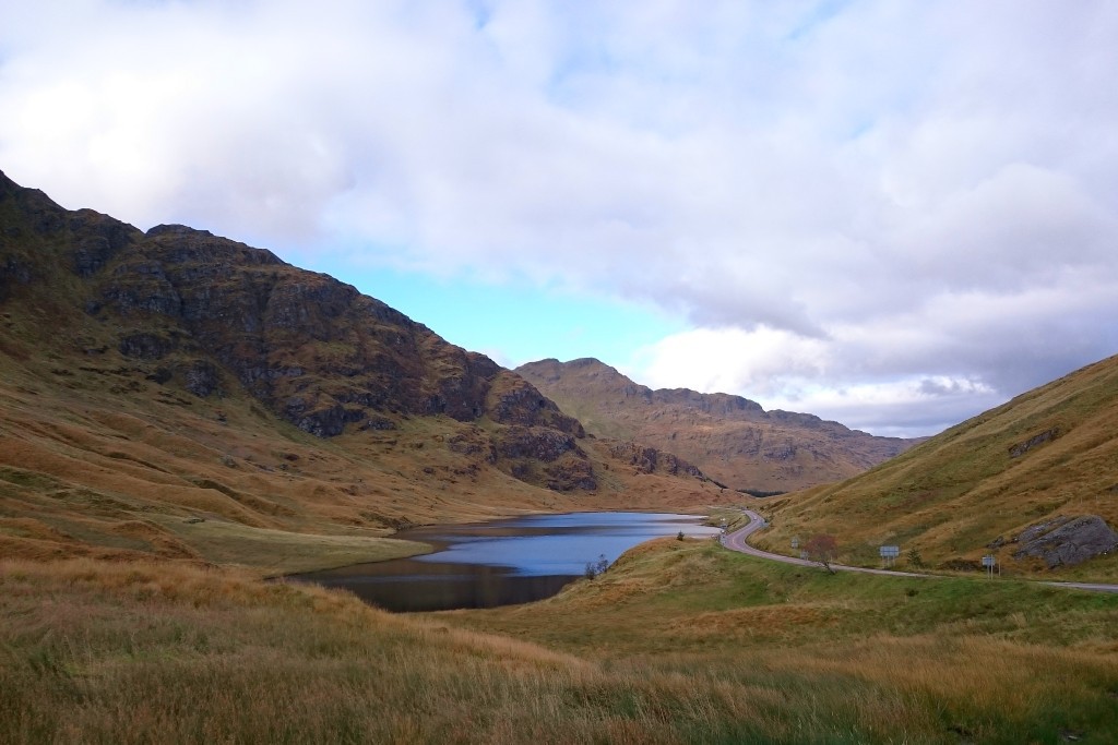
chalda said:
The pictures ARE in the right order today, so guess my route and let me know whether the pileup on the A82 north of Balloch was not as bad as it seemed (ambulance-blaring-wise). They had the A82 closed, which made driving the A814 interesting... The A814 would normally be a great little road to drive, but not with HGVs and coaches coming at you from everywhere.
Judging by the order of the pics this would be my guess, starting by heading east from Oban to Lochearnhead - https://goo.gl/maps/G7tfa4B2WDpI have assumed the A82 closure did not prevent you using the A817 Haul Road to reach the A814.
If not then you would have had to divert via Helensburgh and Faslane. Also, I'm not sure how far you went down Glen Etive.
Slightly O/T - Danny up to his usual tricks. He's a class act.
https://www.youtube.com/watch?v=K_7k3fnxPq0&fe...
Back on topic... here's one of the roads most miss when they do the NC500
https://www.youtube.com/watch?v=K_7k3fnxPq0&fe...
Back on topic... here's one of the roads most miss when they do the NC500
Edited by GetCarter on Thursday 13th October 11:33

Red Devil said:
Wow, you went all the way down to the Trossachs and then back up to Oban? Epic.
Love your geographic knowledge in localising all and everything!Yes, I went 1600 miles in six days in my rental car, from and to Edinburgh. That was quite an achievement, it being seriously underpowered until I unpressed that button.
Going all the way to Dukes Pass was not worth it. You should choose that road if you happen to be in the area, but you should not make a big trip out of it. The B road from Aberfoyle through Gartmore and Dalmary to Drymen was marvellous however!

chalda said:
Going all the way to Dukes Pass was not worth it. You should choose that road if you happen to be in the area, but you should not make a big trip out of it.
Why not? Was it very busy or some other issue?
I've often gone up for an evening run or three over the pass from Edinburgh, with others. Sometimes having a BBQ on a summer evening.
chalda said:
The B road from Aberfoyle through Gartmore and Dalmary to Drymen was marvellous however!
That's not a 'B' road. It's unclassified. 
chalda said:
The A82 south of Invergarry was much less enjoyable, south of Fort William it turned out to be dreadful. There is always someone with enormous ears incompetently driving a white (why always white???) campervan at 38 mph in a NSL section.
Yes it can be rather frustrating. I'd hate to see what it would be like in peak season. The 40mph club is a plague on most roads in England these days sadly.I was lucky on that stretch of the A82 along side Loch Lochy as I had just finished an overtake when a camera van popped into view. Clearly I slowed down quickly enough to avoid a ticket as 3 weeks on and no sign of the dreaded letter.
chalda said:

chalda said:
Going all the way to Dukes Pass was not worth it. You should choose that road if you happen to be in the area, but you should not make a big trip out of it. The B road from Aberfoyle through Gartmore and Dalmary to Drymen was marvellous however!
I enjoyed Dukes Pass however I suspect my opinion might be quite different had I caught traffic as I don't remember seeing many overtaking places.GetCarter said:
Slightly O/T - Danny up to his usual tricks. He's a class act.
https://www.youtube.com/watch?v=K_7k3fnxPq0&fe...
Spotted he had done another video. His balancing skill is incredibly.https://www.youtube.com/watch?v=K_7k3fnxPq0&fe...
briang9 said:
Remember three of us getting stuck behind a Horse Box on Dukes Pass a couple of years ago, he just kept on at 20mph without a care in the world, oblivious to the three V8s behind him
@ 20mph, either there was a lot of opposing traffic or you weren't even trying. Also, the Dukes Pass is a long way from the Highlands. Up there the locals don't hang around.
Especially the postie. The distance between settlements in some parts can verge on double figures.

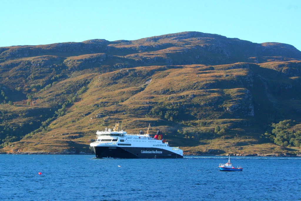
Stornoway ferry Loch Seaforth arriving at Ullapool - https://goo.gl/maps/6mswYHReRst
A little north of Badagyle - https://goo.gl/maps/ru4U2H24H7x
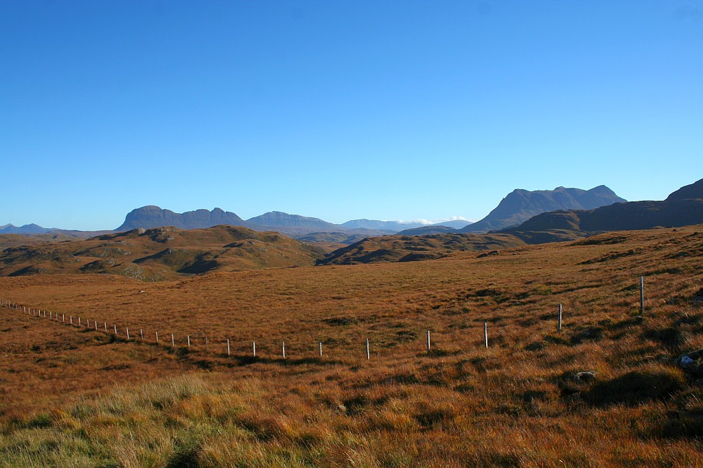
Near Rheagranoch - https://goo.gl/maps/9ofMKusxhdN2
B869 at Clashnessie bay - https://goo.gl/maps/eNcF5NSm8D62
Unless it's in a completely different area, it looks like Loch Nedd.
However I'm having difficulty with the vantage point.
Can't find a match for the area in the foreground.
B869 ~3.5 miles east of Nedd - https://goo.gl/maps/HthaARoD1Sq
A little north of Badagyle - https://goo.gl/maps/ru4U2H24H7x
Near Rheagranoch - https://goo.gl/maps/9ofMKusxhdN2
B869 at Clashnessie bay - https://goo.gl/maps/eNcF5NSm8D62
Unless it's in a completely different area, it looks like Loch Nedd.
However I'm having difficulty with the vantage point.
Can't find a match for the area in the foreground.
B869 ~3.5 miles east of Nedd - https://goo.gl/maps/HthaARoD1Sq
Red Devil said:
Unless it's in a completely different area, it looks like Loch Nedd.
However I'm having difficulty with the vantage point.an't find a match for the area in the foreground.
What IS the matter with you today? First you could not locate the Highland tiger, although there is a fence post in the picture and I was 100 % sure that you knew EVERY fence post in the Highlands. Now this. Well well well.However I'm having difficulty with the vantage point.an't find a match for the area in the foreground.
However, I took that very picture not from the street but had a walk. From the street, it looks like this and I am sure that you will have no problem locating it!
You will for sure recognise the tree. Still amazing. Have you been everywhere? Are you able to pull this trick in every region of the UK? ;-)
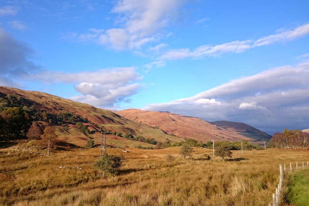
The Highland quests ends. On the final day, I went from Oban to Edinburgh, going southwards first to visit the Kilmartin House Museum. A very fine museum that is, thoroughly recommended!
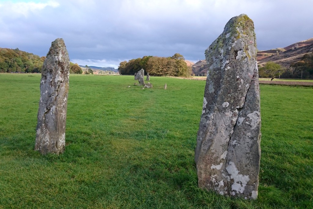
The museum also points you to its "outdoor exhibits", for example this fine set of standing stones.
The A816 was OK, the A83 bearable, Rest and Be Thankful nice to drive again. I then went down the A814 without any traffic, which was great fun! The A817 is also fun, once you overtook all the articulated lorries. The final stretch towards Edinburgh airport was on motorways, no comments on that.
chalda said:
Red Devil said:
Unless it's in a completely different area, it looks like Loch Nedd.
However I'm having difficulty with the vantage point. Can't find a match for the area in the foreground.
What IS the matter with you today? First you could not locate the Highland tiger, although there is a fence post in the picture and I was 100 % sure that you knew EVERY fence post in the Highlands. Now this. Well well well.However I'm having difficulty with the vantage point. Can't find a match for the area in the foreground.
chalda said:
However, I took that very picture not from the street but had a walk. From the street, it looks like this and I am sure that you will have no problem locating it!
Hmmm. I assumed they were all taken on the same day and you posted them in chronological order but now I'm beginning to wonder. It doesn't look right for anywhere between Clashnessie Bay and the final one east of Nedd.There isn't much shadow visible which means the photos were taken in the middle of the day but where is bugging me. Although it seems to ring a bell it's somewhat muffled!
chalda said:
You will for sure recognise the tree.
That tree isn't speaking to me. 
chalda said:
Still amazing. Have you been everywhere? Are you able to pull this trick in every region of the UK? ;-)
Far from it: only the places with decent driving roads and which I have been to on previous visits. The Highlands is easier than most as there aren't that many roads to choose from.But this particular one doesn't seem to be showing on my radar.

Red Devil said:
Hmmm. I assumed they were all taken on the same day and you posted them in chronological order but now I'm beginning to wonder. It doesn't look right for anywhere between Clashnessie Bay and the final one east of Nedd.
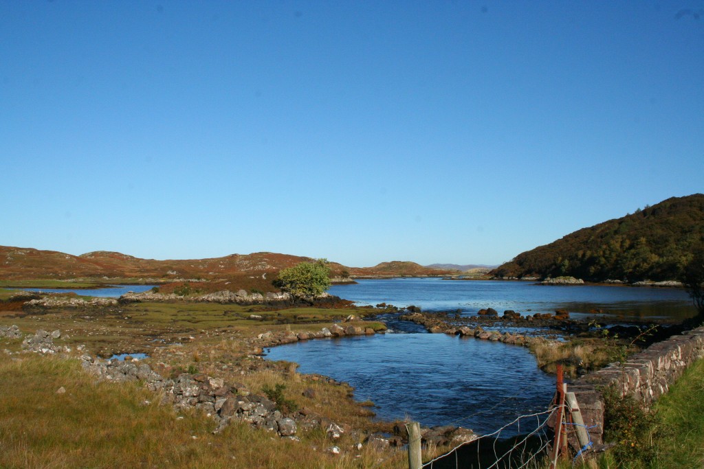
They were, and I had to look for the place again myself. Here it is:https://www.google.co.uk/maps/@58.2449578,-5.23376...
I had a walk along the fence on the left, and took the picture with the tree. It was much more beautiful than in Google Maps... ;-)

Gassing Station | Roads | Top of Page | What's New | My Stuff