Discussion


Peanut Gallery said:
Thats the spot!
Next..

Far too easy. Next..
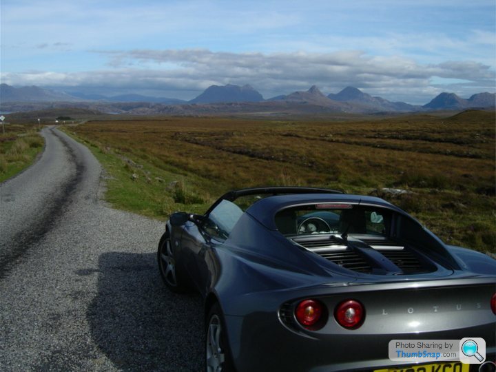
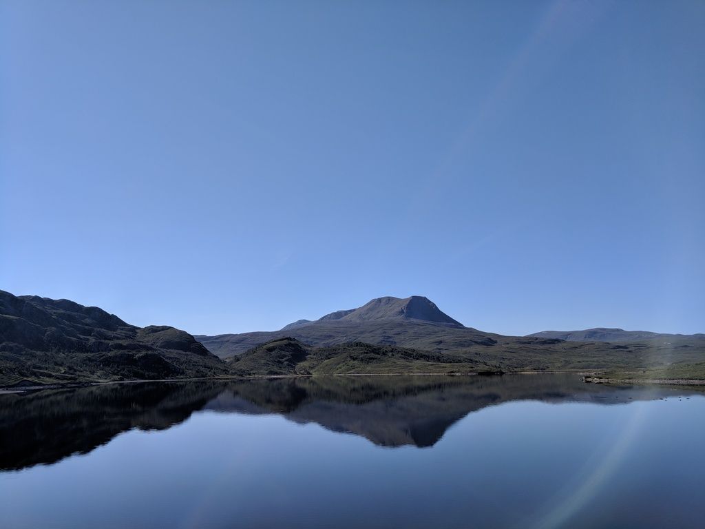
 - Stac Pollaidh
https://goo.gl/maps/FuTqiVxax8n
Peanut Gallery said:
Edit, thats your screen on its side, nothing to do with me...


 s
sIt's just as bad with most groups , whether cars or bikers. Can't the poor lambs go out by themselves , why spend a few days driving round the open roads of Scotland when all you see is your mate in front and behind ? And then the statutory stop , en masse, to take another picture of - wow ! - cars just like yours .
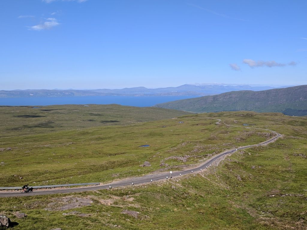
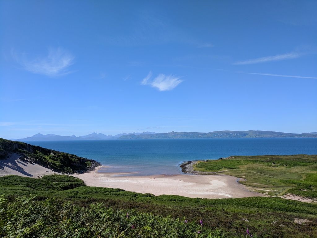
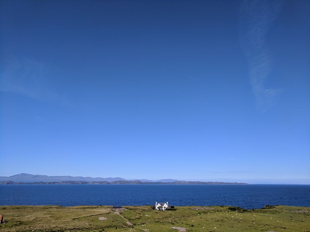
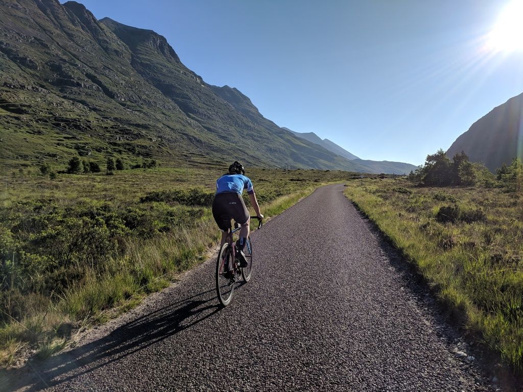
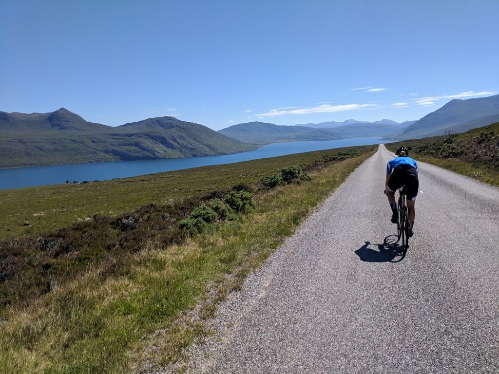
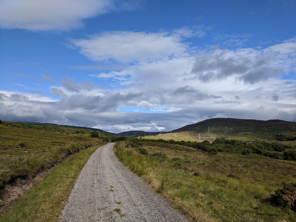
Just spent a week riding (cycling) the NC500. What a week, perfect weather, amazing roads, most of which in very good condition. We rode it over 8 days based on this itinerary:
1 - Inverness to Strathcarron - 70 miles
2 - Strathcarron to Shieldaig - 46 miles
3 - Shieldaig to Ullapool - 93 miles
4 - Ullapool to Kylesku Bridge - 67 miles
5 - kylesku Bridge to Durness - 37 miles
6 - Durness to John o Groats - 92 miles
7 - JOG to Golspie - 70 miles
8 - Golspie to Inverness - 70 miles
Traffic was great, in fact hardly any to really speak of. We camped for 4 nights and then hostels for the other 4, which was a good mix. Inverness is quite close for me (Glasgow) so looking forward to getting back up there to do another "lap". Anyway, some photos


Peanut Gallery said:
Some for you, Red Devil!

Been a bit busy lately so only now catching up on this thread. Pic 1
Often go that way from Ullapool back to Perth.
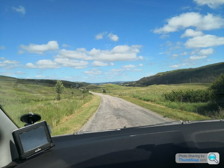
A837, a short distance east of Oykel bridge.
https://goo.gl/maps/GpkkthcSqSJ2
Pic 2
Looking north across Loch Culag.
As close as I could get: it was taken from off road near the gate (scroll right).
https://goo.gl/maps/eE6SQMyFSL92
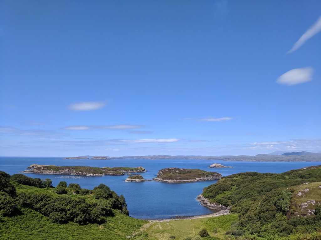
Pic 3
The Road to the Summer Isles west of Achanaird.
Looking east towards Suilven, Cùl Mòr, Stac Pollaidh, Cùl Beag, Beinn na Eòin.
https://goo.gl/maps/YWXoteQWG1B2
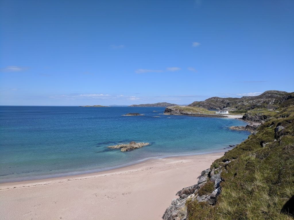
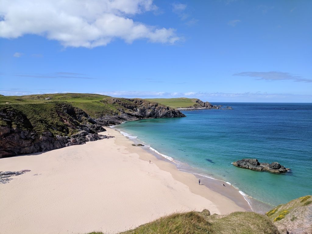
Pic 4
Round the corner from the previous one. Again as close as I could get.
Looking south to the Summer Isles: Isle Ristol (with the sandy beach) in the foreground.
https://goo.gl/maps/WaqxVP7iUwQ2
The last two were the easiest. I took these in mid September 2016.
The dull flat light wasn't conducive to great photos and I'm a point and shoot kind of guy.
I cba to 'enhance' them afterwards either. WYSIWYG.
https://drive.google.com/file/d/16ICzre9etxdsMhhSz...
https://drive.google.com/file/d/1y3IJhOwXh_SeBshIQ...
https://drive.google.com/file/d/1eJuy2AX3EP79D6Hxs...
https://drive.google.com/file/d/17D1Nbk0bt9Q-oFUi7...
Respect!
Like you I'm point and shoot (unless I need to crop to upload)
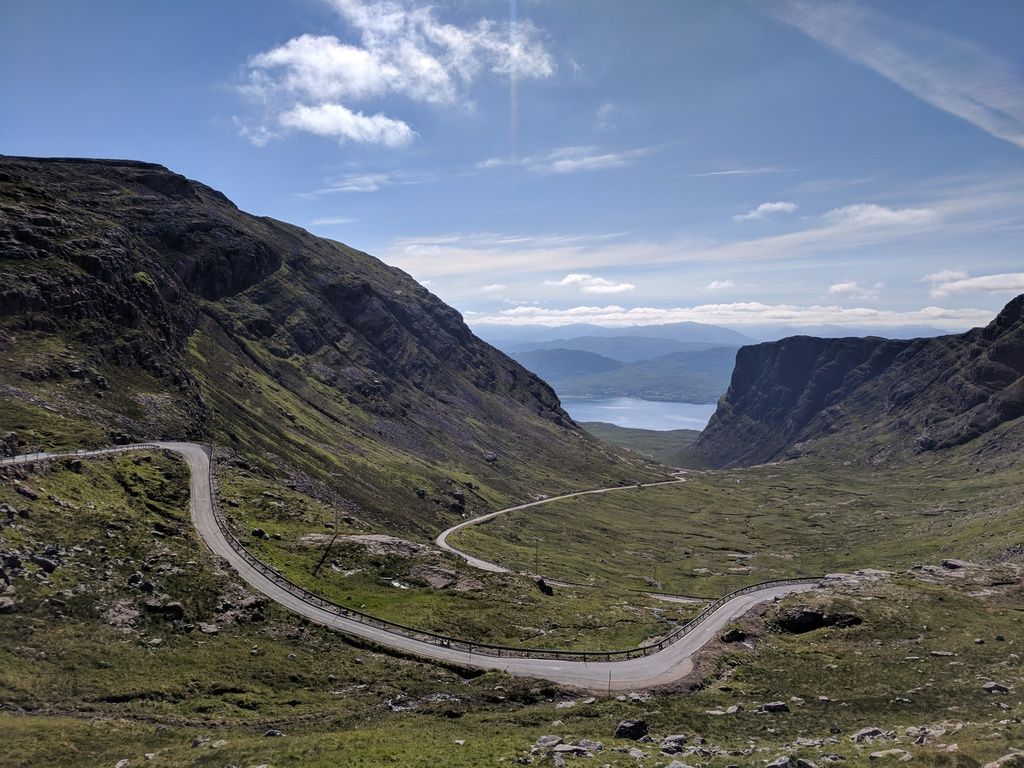
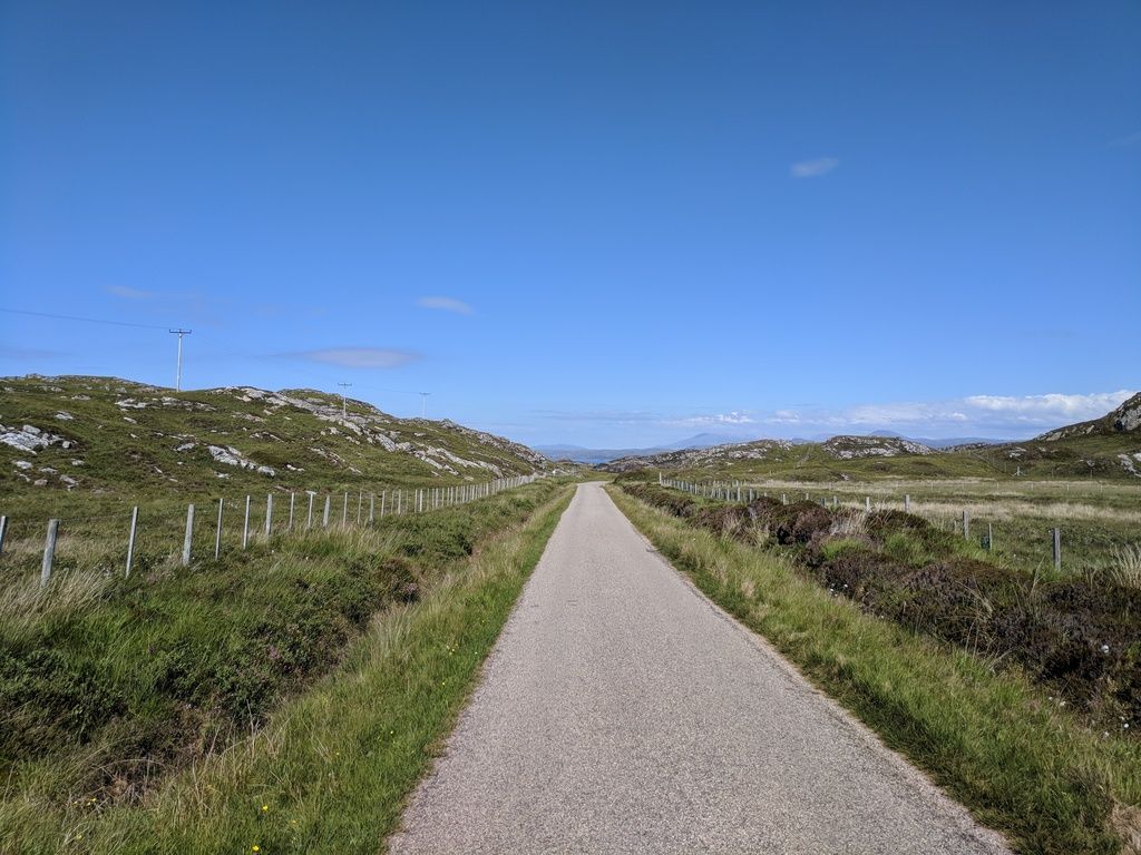
I was not overly impressed with the road going from the summer Isles up to Lochinver, very narrow, rough, and the trees were growing around the road like a tunnel. I fully admit the road was still in the top 1% in the country though!
Once again I failed to organise a night at the spot you highlighted on the A837 with the view, I keep only getting that road west to east when trying to get home. Next time!
Inverness Water flumes are good fun though!
Like you I'm point and shoot (unless I need to crop to upload)
I was not overly impressed with the road going from the summer Isles up to Lochinver, very narrow, rough, and the trees were growing around the road like a tunnel. I fully admit the road was still in the top 1% in the country though!
Once again I failed to organise a night at the spot you highlighted on the A837 with the view, I keep only getting that road west to east when trying to get home. Next time!
Inverness Water flumes are good fun though!
Interesting how people's PoV differs. The attraction of the B869 for me are the very things which don't impress you.
A slender and challenging ribbon draped across a uniquely varied landscape.
The biggest issue AFAICS is its inclusion in the NC500.
It's not really suitable for the (often hired) herd of campervans driven by tourists who don't have a clue about single track road etiquette.
Fortunately my trips are always before or after most of them come out of hibernation.
That said, it is the only Highlands road where I have ever come close to being a statistic.
I was approaching this blind crest* at <20mph when I was confronted by an oncoming jerk whose single brain cell was in shut down mode..
He came flying (almost literally) over it in the middle of the road as if he thought he was on a hot lap at the 'Ring.
It was more by luck than anything else that it didn't result in a head on.
After the dust had settled the arrogant t****r in his roof down German soft top didn't even have the grace to apologise for his atrocious driving.
I suggested he might do well to slow down or his next destination might be A&E/Intensive Care at Raigmore Hospital in Inverness. Or the morgue.
* The incline is a lot steeper than it looks in Google Street View due to the elevated camera position.
I caught it mid day, and mid season.. Was not aware the NC500 was on that road, that would explain the mighty high amount of reversing I needed to do, on top of the waiting! - no big groups though, which was good! (but a few suicidal motorbikes)
Is the official route clockwise or anticlockwise? Not that I want to, but I may have to plan to run these roads in the same direction as others during busy times.
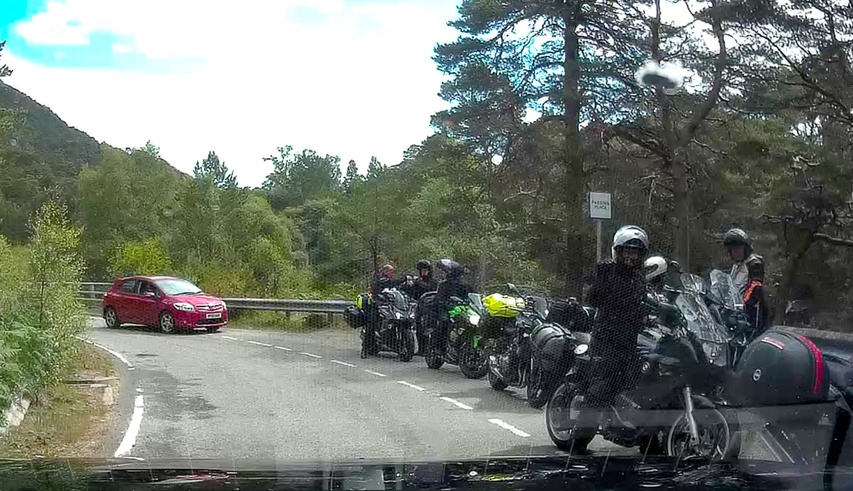
Earlier someone asked how you know if a bike is local or from the continent. Most tourists have larger panniers, wear black leathers, more upright bikes, black helmets, and stay in the middle of the road. Local add a lot more colour, a dash of "POLITE" and tend to stay on the sides of the roads.
Is the official route clockwise or anticlockwise? Not that I want to, but I may have to plan to run these roads in the same direction as others during busy times.
Earlier someone asked how you know if a bike is local or from the continent. Most tourists have larger panniers, wear black leathers, more upright bikes, black helmets, and stay in the middle of the road. Local add a lot more colour, a dash of "POLITE" and tend to stay on the sides of the roads.
Peanut Gallery said:
Is the official route clockwise or anticlockwise? Not that I want to, but I may have to plan to run these roads in the same direction as others during busy times..
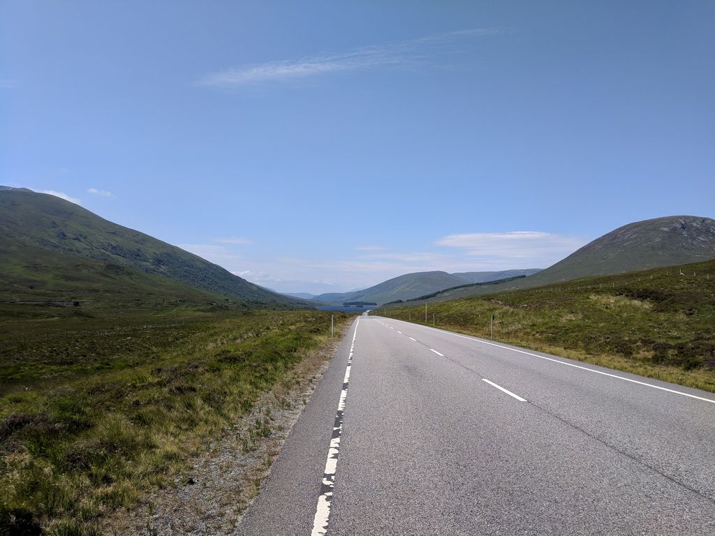
There is no official direction. Sitting in the garden watching across the loch I reckon more do it clockwise. 90% of them do it between 10 am and 4 pm, so we do our driving outside those hours April - Sept.Approaching Loch Carron.
Peanut Gallery said:
I was not overly impressed with the road going from the summer Isles up to Lochinver, very narrow, rough, and the trees were growing around the road like a tunnel. I fully admit the road was still in the top 1% in the country though!
Red Devil said:
Interesting how people's PoV differs. The attraction of the B869 for me are the very things which don't impress you.
A slender and challenging ribbon draped across a uniquely varied landscape.
The biggest issue AFAICS is its inclusion in the NC500.
It's not really suitable for the (often hired) herd of campervans driven by tourists who don't have a clue about single track road etiquette.
Fortunately my trips are always before or after most of them come out of hibernation.
Peanut Gallery said:
I caught it mid day, and mid season.. Was not aware the NC500 was on that road, that would explain the mighty high amount of reversing I needed to do, on top of the waiting! - no big groups though, which was good! (but a few suicidal motorbikes)
Not sure if there is some mix-up going on. But the 'wee mad road' (a book, look it up) from Badnagyle to Lochinver is not the B869, it is unclassified/unnamed and is not part of the official NC500 route.
https://goo.gl/maps/LLG9NgrrzEQ2
JM said:
Not sure if there is some mix-up going on.
But the 'wee mad road' (a book, look it up) from Badnagyle to Lochinver is not the B869, it is unclassified/unnamed and is not part of the official NC500 route.
https://goo.gl/maps/LLG9NgrrzEQ2
Indeed God forbid it being on the NC500... motorcaravans on that?!But the 'wee mad road' (a book, look it up) from Badnagyle to Lochinver is not the B869, it is unclassified/unnamed and is not part of the official NC500 route.
https://goo.gl/maps/LLG9NgrrzEQ2
The reason we always stay in Lochinver is that it’s the only place (in that area) we can get into hotels at the last moment, as it’s not on the rat run.
Edited by GetCarter on Saturday 14th July 14:19
Gassing Station | Roads | Top of Page | What's New | My Stuff