Brecon to Betws-y-Coed: Direct-ish but fun route?
Discussion


The cost of flights and hire cars persuaded the OH and I to abandon our planned trip to the Scottish Highlands and we're driving to Wales instead. We're stopping off in the Brecon Beacons on the way there (and on the way back) before heading up to Betws-y-Coed and I wondered if anyone could recommend a relatively direct, but entertaining route between the two?
It's not intended as a white knuckle hoon (I'm only going to be in the Focus ) but would be nice if we could take in a few decent roads on the way. That said, looking at the map I'm guessing it's going to be pretty hard not to...
It's not intended as a white knuckle hoon (I'm only going to be in the Focus
) but would be nice if we could take in a few decent roads on the way. That said, looking at the map I'm guessing it's going to be pretty hard not to...Chris
We have a great route thru Chepstow into the Brecon Beacons, there the route around the Lyn Bryn Reservoir and the Devils Staircase (Abergwesyn) is a must
http://maps.google.co.uk/maps/ms?oe=utf-8&clie...
We have a great route thru Chepstow into the Brecon Beacons, there the route around the Lyn Bryn Reservoir and the Devils Staircase (Abergwesyn) is a must
http://maps.google.co.uk/maps/ms?oe=utf-8&clie...
I've done that route a few times - but usually as the back-leg of a long weekend of driving.
If you're not in a rush (3.5h-4h)
If you want something a bit more direct/quicker (2.5h-3h)
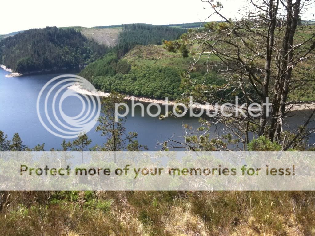
The Elan Valley (just after Rhayader) bit is wonderful in the right conditions (and not bad in slightly worse conditions, as it keeps the tourists away)...


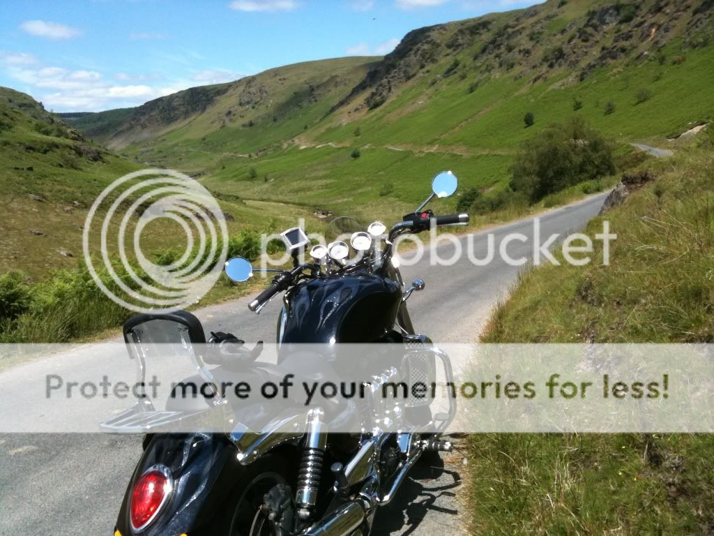
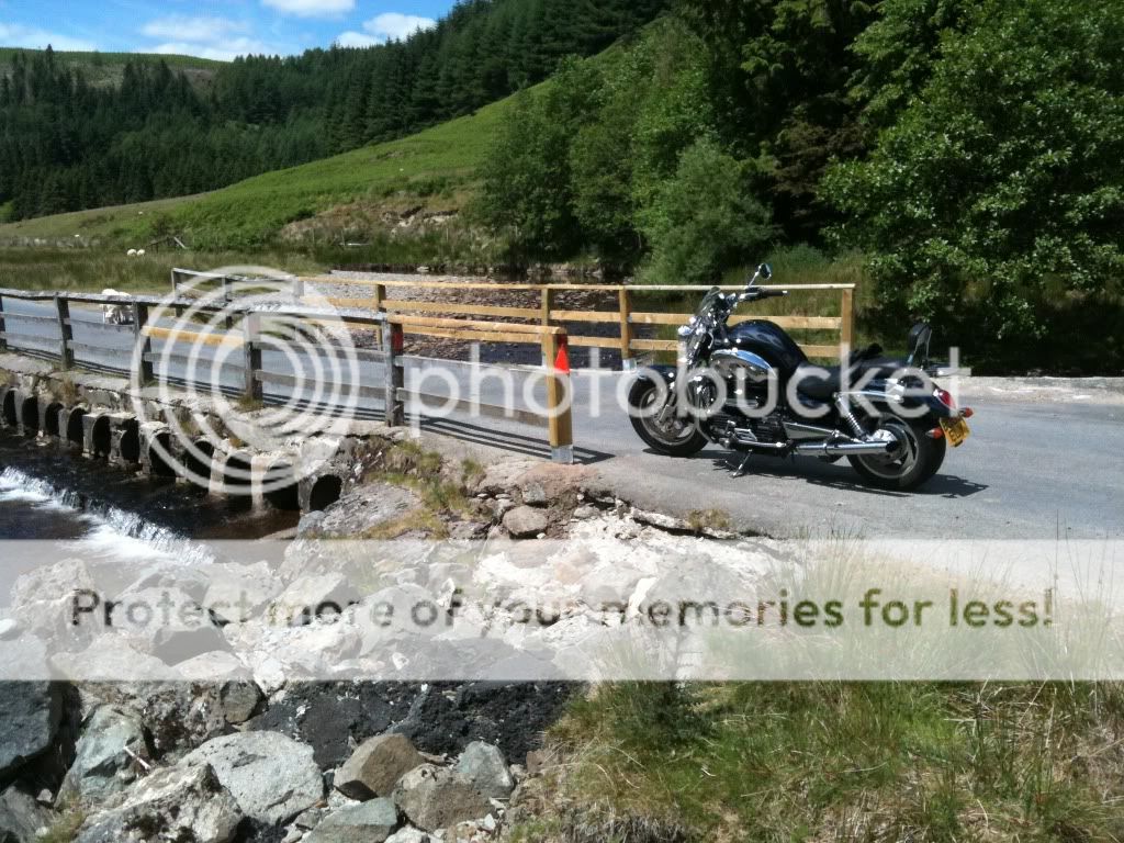
More pictures of the top 2/3rd of those routes on my website.
If you're not in a rush (3.5h-4h)
If you want something a bit more direct/quicker (2.5h-3h)
The Elan Valley (just after Rhayader) bit is wonderful in the right conditions (and not bad in slightly worse conditions, as it keeps the tourists away)...
More pictures of the top 2/3rd of those routes on my website.
Edited by mmm-five on Saturday 9th October 11:42
mmm-five said:
I've done that route a few times - but usually as the back-leg of a long weekend of driving.
If you're not in a rush (3.5h-4h)
If you want something a bit more direct/quicker (2.5h-3h)
The Elan Valley (just after Rhayader) bit is wonderful in the right conditions (and not bad in slightly worse conditions, as it keeps the tourists away)...


More pictures of the top 2/3rd of those routes on my website.
Thanks. What bits would I be missing if I did the shorter route? (Is that the Elan Valley basically?)If you're not in a rush (3.5h-4h)
If you want something a bit more direct/quicker (2.5h-3h)
The Elan Valley (just after Rhayader) bit is wonderful in the right conditions (and not bad in slightly worse conditions, as it keeps the tourists away)...
More pictures of the top 2/3rd of those routes on my website.
saaby93 said:
out of interest how did you mark those routes in google maps?
I'm fairly sure that if you put in directions it brings up the blue line. You can then click and drag it to the roads you want to use/make new waypoints.Then to send it with exactly what you see click on the "link" button (right hand side of the screen, blue bar. Just above the satellite option for the map) This will give you a long link which should send people to exactly what you see.

Blayney said:
saaby93 said:
out of interest how did you mark those routes in google maps?
I'm fairly sure that if you put in directions it brings up the blue line. You can then click and drag it to the roads you want to use/make new waypoints.Then to send it with exactly what you see click on the "link" button (right hand side of the screen, blue bar. Just above the satellite option for the map) This will give you a long link which should send people to exactly what you see.
You can also draw your own lines on the map if you're signed in to Google maps, by creating a new map and using the appropriate tool. It only allows you to draw straight lines, but, as any mathematician will tell you, enough of those approximate to any shape.

The advantage of this is it allows you to mark out routes on un-marked footpaths and stuff for jogging, mountain biking or whatever. It's also quite useful because you can also measure the length of the route.
Chris71 said:
The advantage of this is it allows you to mark out routes on un-marked footpaths and stuff for jogging, mountain biking or whatever. It's also quite useful because you can also measure the length of the route.
Drifting a tad....I didn't think google maps had footpaths marked?
saaby93 said:
Chris71 said:
The advantage of this is it allows you to mark out routes on un-marked footpaths and stuff for jogging, mountain biking or whatever. It's also quite useful because you can also measure the length of the route.
Drifting a tad....I didn't think google maps had footpaths marked?

Gassing Station | Roads | Top of Page | What's New | My Stuff