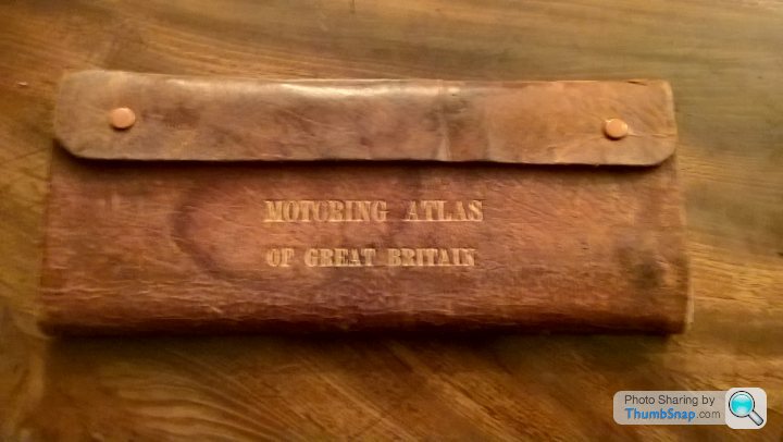
Early 1960s Motoring Atlas
Discussion


Riley Blue said:
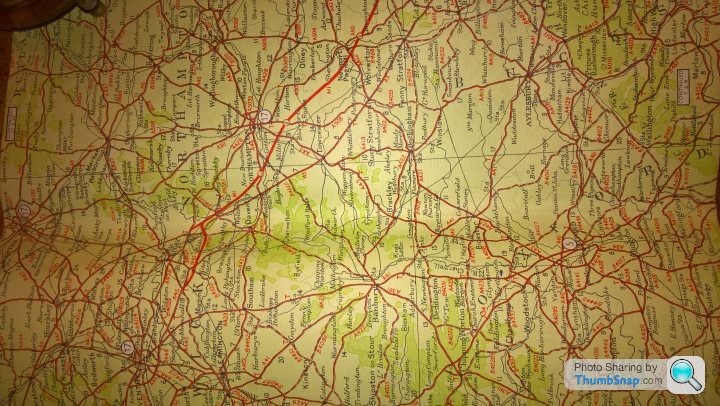
I've a collection of UK maps and atlases dating back to the 1930s; lovely things to gaze at and follow the Great North Road through Baldock, Biggleswade, Stilton and Stamford; a journey that took all day in the family Austin A40 in the 1950s.
I too have quite a collection, despite not setting out as a map collector!If I can be bothered, I use the maps that show how the roads were when the car I'm using was new(ish) and try to use routes that the first owners would have used. Sometimes it is possible, if not easy, but all too often the old main roads have been converted into motorways so destroying the previous version. Yesterday's Drive It Day run used a bit of the original Barnet Bypass (né A111, later A1) from Welham Green to South Mimms but the South Hatfield - Welham Green part is part of A1(M) as is the South Mimms-Apex Corner section.
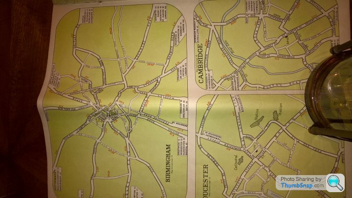
My best atlas is Newnes' Motorists' Touring Guide and Road Maps, published as 12 fortnightly parts @ 1/3d each. In addition to the (Bartholomew's) maps it has a section on Cities, Towns and places of interest and useful articles - appropriately the first I found is "The Great North Road" illustrated with sketches of The Bell at Stilton, Wansford Bridge, The George at Stamford, the Angel Grantham, York Bar near Doncaster etc. Typical of the time there isn't a publication date but from the roads and railways one can date it to around 1924.
The 16 part Wincarnis Motor and Cyclist map which I also have must have been useless for cyclists at 10 miles to the inch scale and you need a magnifying glass to read anything so not much better for motorists.
Breadvan72 said:
Go back further and you can get fabby C18 and C19 road maps and county maps for not a huge amount. I saw a John Speed map of Norfolk yesterday, only £800 asking price, a possible barg.
A lot of Victorian reproductions about though - like mine!
Many of the OS maps of the Sixties carried notes such as " Full revision 1933. Roads 1946 with later corrections".
Allan L said:
Riley Blue said:
I've a collection of UK maps and atlases dating back to the 1930s; lovely things to gaze at and follow the Great North Road through Baldock, Biggleswade, Stilton and Stamford; a journey that took all day in the family Austin A40 in the 1950s.
I too have quite a collection, despite not setting out as a map collector!If I can be bothered, I use the maps that show how the roads were when the car I'm using was new(ish) and try to use routes that the first owners would have used. Sometimes it is possible, if not easy, but all too often the old main roads have been converted into motorways so destroying the previous version. Yesterday's Drive It Day run used a bit of the original Barnet Bypass (né A111, later A1) from Welham Green to South Mimms but the South Hatfield - Welham Green part is part of A1(M) as is the South Mimms-Apex Corner section.
My best atlas is Newnes' Motorists' Touring Guide and Road Maps, published as 12 fortnightly parts @ 1/3d each. In addition to the (Bartholomew's) maps it has a section on Cities, Towns and places of interest and useful articles - appropriately the first I found is "The Great North Road" illustrated with sketches of The Bell at Stilton, Wansford Bridge, The George at Stamford, the Angel Grantham, York Bar near Doncaster etc. Typical of the time there isn't a publication date but from the roads and railways one can date it to around 1924.
The 16 part Wincarnis Motor and Cyclist map which I also have must have been useless for cyclists at 10 miles to the inch scale and you need a magnifying glass to read anything so not much better for motorists.
A classic car club I was once a member of holds a London to Edinburgh Run every five years and following, as far as is possible, the original 1925 route which takes the Great North Road as far as Wetherby. Sadly, with each event, the route changes more and more and some stretches are now unrecognisable.
Gassing Station | Classic Cars and Yesterday's Heroes | Top of Page | What's New | My Stuff